

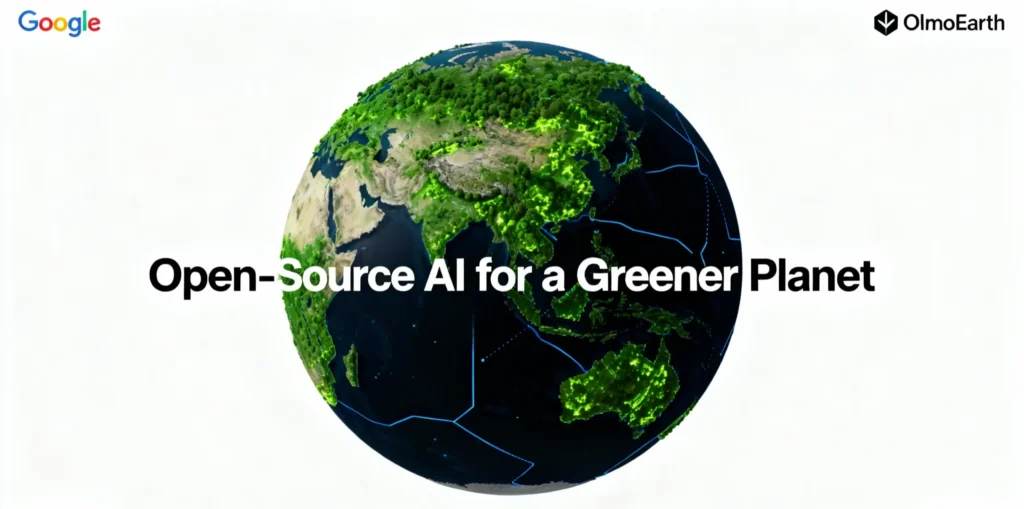
In a significant move to democratize the fight against climate change, Google has announced OlmoEarth, a new family of open-source artificial intelligence models designed specifically for environmental and conservation applications. This initiative extends the powerful capabilities of the Google Earth platform, aiming to provide researchers, non-profits, and governments with free, transparent tools to monitor and protect the planet.
For years, access to cutting-edge climate and conservation AI has been limited by high costs and the “black box” nature of proprietary systems. OlmoEarth shatters these barriers by releasing a suite of powerful models trained on Google’s vast repository of over 80 petabytes of satellite imagery and geospatial data, which has been collected for over 37 years.
“We believe that the most urgent challenges, like climate change and biodiversity loss, require a collective, global effort,” said a spokesperson from Google’s AI for Social Good division. “By open-sourcing OlmoEarth, we are putting state-of-the-art tools, trained on decades of global data, into the hands of the people on the front lines of conservation, empowering them to make faster, more data-driven decisions to protect our shared planet.”
From Google Earth AI to an Open, Global Platform
The OlmoEarth initiative is the next evolution of Google’s long-standing work in geospatial AI, building on decades of data collection and advanced modeling. It integrates several key technologies to deliver unprecedented power to the public.
OlmoEarth’s vision transformer architecture allows the models to analyze entire tiles of satellite imagery at once, capturing crucial spatial context. This enables highly accurate predictions of environmental changes, such as deforestation risk, at a stunning 30-meter resolution across the globe.
By open-sourcing models built on these powerful foundations, Google is effectively handing the keys to a “virtual satellite” to the global research community. This allows for the creation of custom, localized AI tools without the need for billions of dollars in infrastructure.
Empowering Conservation at Scale: Real-World Applications
The goal of OlmoEarth is to move beyond simply publishing data and to empower direct, life-saving action. The open-source models can be fine-tuned for a wide range of specific conservation and climate-related tasks.
An OlmoEarth model can analyze satellite imagery to predict which areas of a forest are at the highest risk of being illegally cleared. This allows government agencies and indigenous communities to deploy scarce resources to protect those specific areas before the damage is done.
By combining satellite data with on-the-ground observations, researchers can use OlmoEarth to create high-resolution biodiversity maps. This is critical for identifying at-risk species and prioritizing conservation efforts with an accuracy that was previously impossible.
During natural disasters like wildfires or floods, an open-source model can be rapidly fine-tuned on local data. This can help predict the disaster’s path and identify vulnerable communities, enabling aid organizations like World Vision and GiveDirectly to deliver help more effectively.
The “Green AI” Revolution: A New Era of Collaboration
The launch of OlmoEarth is a landmark moment in the “Green AI” movement, which emphasizes using AI for positive environmental outcomes. It provides a powerful counter-narrative to concerns about the massive energy consumption of large AI models.
Google is betting that the positive environmental impact of applying AI to conservation will far outweigh the computational cost of developing it. This initiative has the potential to spark a global wave of innovation, creating a new ecosystem of startups, non-profits, and research projects all dedicated to using open-source AI to build a more sustainable world.
SOURCES
- https://www.google.com/intl/en_in/earth/about/versions/
- https://mapsplatform.google.com/maps-products/earth/capabilities/
- https://support.google.com/earth/community-guide/256123000/versions-of-google-earth-desktop-web-mobile?hl=en
- https://earth.google.com/web
- https://en.wikipedia.org/wiki/Google_Earth
- https://agilestorelocator.com/blog/google-maps-vs-google-earth-guide/
- https://blog.google/technology/ai/google-earth-ai/
- https://earthengine.google.com
- https://developers.google.com/maps/documentation/earth/earth-plans
- https://research.google/blog/forecasting-the-future-of-forests-with-ai-from-counting-losses-to-predicting-risk/
- https://deepmind.google/blog/mapping-modeling-and-understanding-nature-with-ai/
- https://www.esgtimes.in/climate/new-google-ai-maps-climate-land-use-changes-with-satellite-imagery/
- https://sustainabilitymag.com/news/google-how-ai-is-going-to-supercharge-wildlife-conservation
- https://enterpriseai.economictimes.indiatimes.com/news/industry/google-earth-ai-brings-gemini-powered-climate-predictions-to-governments-ngos/124782948
